
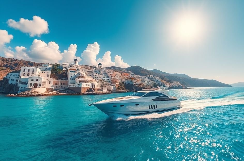
The Southern Cyclades, a captivating island group in the Aegean Sea, offers a unique yachting experience. During summer, the Meltemi wind, blowing from the north-northwest, prevails, starting in June and intensifying through September, potentially reaching force 8. It diminishes in October. Spring and autumn bring occasional gales from the north and southeast. Summer temperatures are hot, averaging 25°C, often climbing to 35°C.
Milos, the southwesternmost island, features the expansive Ormos Milou bay, formed by an ancient volcanic eruption. Adhamas, the island’s port, provides mooring options along the east side of the ferry pier or at the smaller eastern pier. Anchoring southeast of the pier is also possible, though the mud, rock, and weed bottom offers variable holding. Shelter from the Meltemi is good, but southerly winds can create hazardous conditions. Water is available at the ferry pier, and fuel can be delivered. The village offers provisions and tavernas. Ascend to the Chora for panoramic bay views. Several other anchorages exist in the bay, but they are exposed to the north.
Kimolos, northeast of Milos, offers two anchorages in Ormos Sikia on the southwest coast. These are exposed to north-northwest winds and unsuitable during the Meltemi. Pirgonisi, a long sandy beach on the south coast, allows anchoring along its length. Psathi, further east, offers quay mooring or anchoring, but minimal Meltemi shelter. Semina Creek, just north, provides a bay for anchoring, also with limited Meltemi protection. Poliagos, northwest of Kimolos, features a secluded anchorage south of Moanolsi island, offering Meltemi shelter and good holding. The south side of Poliagos has several coves suitable for anchoring in calm conditions.
Folegandros, a rocky island, features Karavostasi as its ferry port. Mooring options include the south side of the westward-extending mole, though holding can be poor. Reasonable Meltemi shelter is available. The island relies on ferry deliveries for provisions, and tavernas are present. Ormos Vathi, a large bay on the west side, is usable only in calm weather, with unreliable holding.
Sikinos, east of Folegandros, has Ormos Skala as its sole harbor. Quay mooring or anchoring are possible, with tavernas and provisions available. The setting is popular with Greek tourists.
Ios, 3.5 miles east of Sikinos, reportedly houses Homer’s burial site. Port Ios offers excellent mud holding. Fuel delivery is available, and water can be obtained from a public fountain. Tavernas and provisions abound. Ormos Milopotamou, south of Port Ios, features four coves in its north, offering varying degrees of shelter. Ormos Manganari, a large bay on the south coast, allows anchoring throughout, with tavernas ashore.
Thira (Santorini) resembles Milos in its volcanic origin. Its eruption in 1440-1450 BC shaped the bay. Thirasia, Nea Kammeni, and Palaia Kammeni are also part of the volcanic structure. White Cycladic houses with blue windows cling to the cliffs, creating a stunning landscape. Finikia lies in the north of Thira. Skala Thira provides harbor access to the island’s capital. The coast south of Akrotiri offers Meltemi shelter, though ground swell can cause rolling. Monolithos, on the east coast, features a small harbor.
Thirasia’s only anchorage is Ayios Nikolaos. Nea Kammeni has inlets for anchoring, requiring a trip line due to rocky bottoms. Anafi, the southernmost island, has an exposed anchorage on its south coast.