
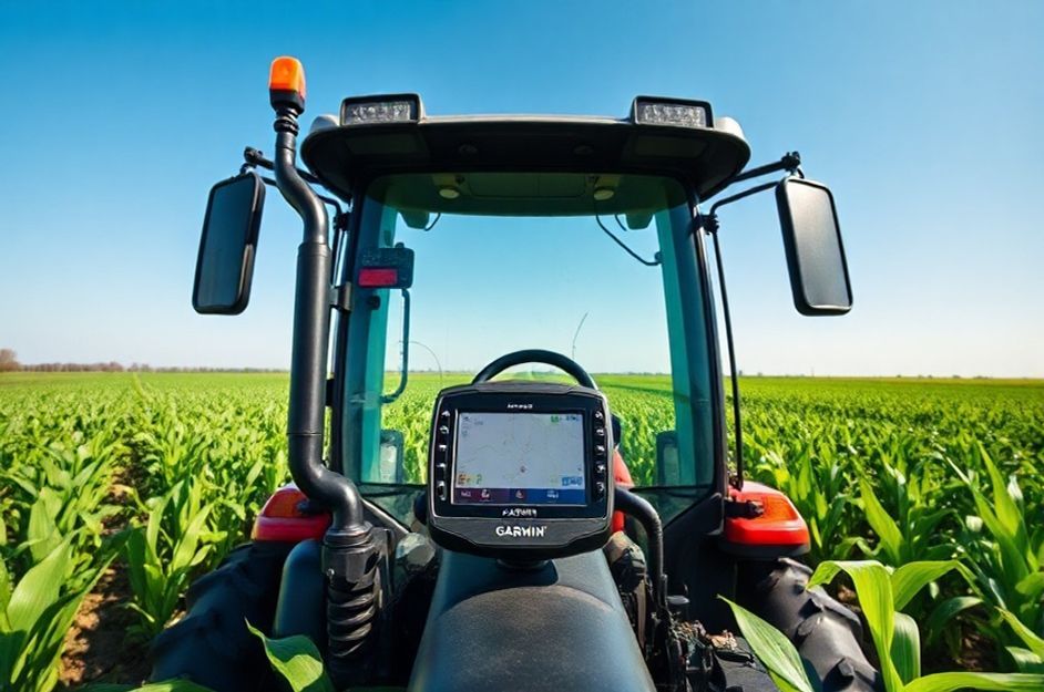
For years, I’ve leveraged Garmin GPS technology to enhance crop production on my farm. The key lies in precision land management. GPS mapping, integrated with tractors and planters, allows for optimized planting strategies that maximize the use of available field space. Traditional planting methods, relying on visual estimation, are prone to minor deviations that accumulate and negatively impact yields. A seemingly insignificant angular error in a crop row can lead to substantial wasted space, rendering an entire row unusable.
GPS-guided mapping enables faster and more precise land surveying. By optimizing row spacing by even a fraction of an inch, I can effectively add extra rows of crops like corn. Accurate maps generated by Garmin GPS ensure correct and consistent crop growth.
My farm trucks are also equipped with GPS. My employee, Jose, uses the GPS to maintain straight lines while seeding. A handheld Garmin GPS mounted on the dashboard provides real-time guidance, ensuring accuracy. This GPS-driven approach has led to a measurable increase in production and profitability, critical in today’s economic climate.
While my farm might not be the largest, GPS technology empowers me to make the most of available land. By meticulously planning crop layouts and utilizing previously underutilized areas, I can supply high-quality corn and other crops to consumers. Furthermore, previously wasted space is now used to cultivate smaller crops like tomatoes and pumpkins, creating additional revenue streams. This reflects the ‘butterfly effect’ in action: seemingly small improvements translate into significant gains. Saving an inch here and there adds up to extra feet of growing space, an achievement impossible without the precision offered by Garmin GPS.